


|
Tuesday, November 05 2019
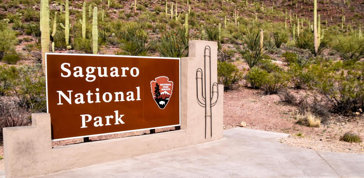 The saguaro flower is Arizona's state flower and means American cactus. It's pronounced "suh-wah-roe." You don't pronounce the word with a hard "G". We definitely enjoyed our time in Seguaro National Park. The Park has two sections (East and West) and are on either side of the city of Tucson. The park is named for the large saguaro cactus, native to its desert environment. There are two scenic drives in Saguaro National Park. In the Tucson Mountain District (west), the park is open to vehicles from sunrise to sunset daily (times may vary so check before you go) and the drive in the Western part of the park has several routes. The West park is lower in elevation and boasts a denser saguaro forest. The Signal Hill Trail leads to petroglyphs of the ancient Hohokam people. The west is the better choice if time is short. In the eastern Rincon Mountain District, Cactus Forest Drive is a loop road with striking views of the desert landscape. The drive in Saguaro National Park East is a paved eight mile one way loop. The eastern section is larger and more mountainous. The east has more hiking trails and is the only region where backpacking is allowed. In the Rincon Mountain District (east), the park is open to vehicles from 5:00 a.m. - 8:00 p.m. in the summer, and 5:00 a.m. - 6:00 p.m. in the winter. If you are traveling with pets, please note that pets are only allowed in certain areas and not on any of the trails. There are many threats within the park that can cause injury to them but they are also consider predators by wildlife. So please see the link reference below on the pet guide. East and West Comparison
Seguaro National Park Pet guide – https://www.nps.gov/sagu/planyourvisit/pets.htm Seguaro National Park Hiking - https://www.nps.gov/sagu/planyourvisit/saguaro_hiking.htm Phone: (520) 733-5153. Address: Monday, July 29 2019
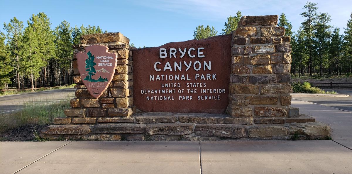 Bryce Canyon is a series of large natural amphitheaters with thousands of multi-colored rock pinnacles called “hoodoos.” These formations shine brilliantly under sunny skies, but glow most exquisitely under the soft light of the sunrise or sunset. You’ll be astonished by the contrast of the pillars of red, white, and orange rock formations and vibrant blue sky. Our first "real" trip out was to Bryce Canyon National Park in July 2019. The weather was perfect and we stayed at Ruby's Inn RV Park & Campground (see review) which is located about one mile from the entrance to Bryce Canyon. We definitely enjoyed all that Bryce Canyon had to offer. The views are breathtaking and pictures will never really do it justice. The scenic drive inside Bryce Canyon offers easy access to a number of viewpoints (Sunrise, Sunset, Bryce Point, Inspiration, Farview and the natural bridge). And most within walking distance from the parking area. The amphitheater views from the viewpoints were amazing as well. We did a couple of hikes which also offer spectacular views. We started with a few easy hikes which were on the Rim Trail and Bristlecone loop. We also did a moderate hike of the Queen’s/Navajo Combination Loop Trail. We also attempted a more strenuous hike on the Peekaboo Loop but somehow ended up back on the Navajo Loop. Overall, Bryce is truly one of my favorite places. It is so serene and for some reason my heart is so peaceful when we visit. It is definitely a must see.
Bryce Canyon National Park Information - https://www.nps.gov/brca/planyourvisit/basicinfo.htm Phone: (435) 834-5322 Physical Address:
|
 |

